
Supported Drawing Types
Our smart validator processes all standard UK planning drawing types, extracting scale, orientations, boundaries, and architectural labels automatically.
Site PlanSite/block plans with boundaries, access, parking, north arrow, and scale checks.
Location PlanWider OS/context plans with red line boundary, scale, and north arrow checks.
Floor PlanInternal layouts, floor level, scale, north arrow where external context exists.
ElevationExternal building views, face labels, materials, scale, and state labelling.
Section DrawingCut-through drawings with internal relationships, levels, scale, and labels.
Roof PlanRoof geometry, state labelling, scale, north arrow, and roof features.
Detail DrawingConstruction details, component information, dimensions, and state labelling.
Mixed PlansSheets containing multiple distinct drawing types, validated per constituent drawing.
Have application plans ready to validate?
Upload your PDF or image drawings for an instant automated UK compliance check.
Built for Every UK Planning Stakeholder
Select a role below to explore tailored validation workflows and policy insights.
Instant Validation & Success Score
Upload floor plans, elevations, or site photos. Plandy evaluates constraints (conservation areas, flood risk, tree orders) to yield a % approval likelihood.
Saves up to GBP 450 per applicationFinished Property Renderer
Snap a photo of your property, describe intended changes (e.g. "Double storey rear extension with anthracite bi-folds"), and see an instant realistic rendering.
Try Interactive VisualiserChat with "Andy"
Your personal 24/7 UK planning officer AI. Direct answers on Permitted Development Rights, ridge heights, material constraints, and local authority nuances.
AI Extension Visualiser
Drag the slider to see how Plandy's generative engine converts standard suburban semi-detached property photos into fully validated architectural proposals.
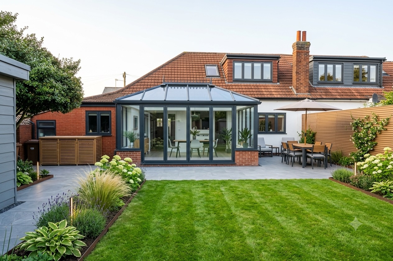 AI Proposed Works (Validated)
 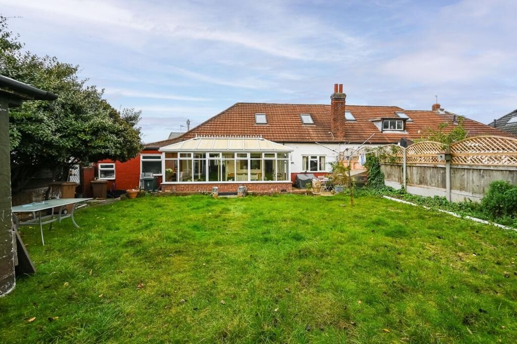 Existing Photo
 UK Planning Tracker & Stats
Explore real-time decision logs, submission volume, and approval ratings across councils.
Two storey rear extension & loft conversion
42 Highfield Rd, Bristol BS8 2AT
Single storey 4m rear kitchen expansion
18 Oak Avenue, Guildford GU2 8XN
Internal alterations to Grade II Listed Building
7 Royal Crescent, Bath BA1 2LR
Regional UK Planning Guides
Every jurisdiction in the UK maintains distinct statutory rules. Download localized handbooks curated by local architects.

England Framework
NPPF 2026, Class A Permitted Development rights, 3m/4m extension thresholds.

Scotland Guidelines
NPF4 policies, Householder Permitted Development Circulars, and Listed Consent.

Wales TAN 12
Planning Policy Wales (PPW), Technical Advice Notes, and Welsh Language impact factors.

Northern Ireland
SPPS (Strategic Planning Policy Statement) & Local Development Plan (LDP) compliance.